Christmas Island
Santa, his reindeer, a pine forest, and Santa's workshop on an island that doesn't exist - drawn onto the real Google Map and shareable with one link.
What's on the map
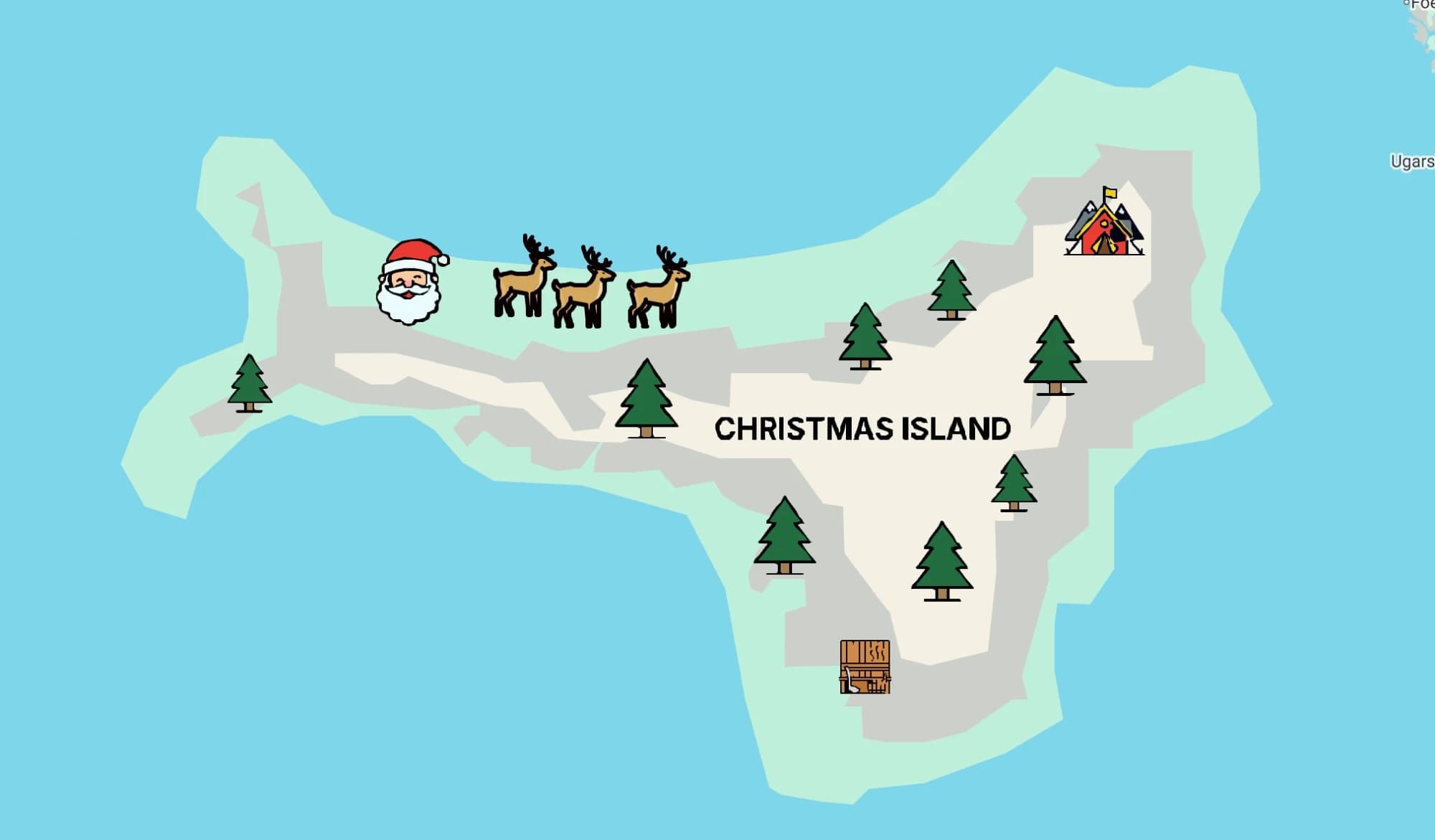
Christmas Island is a festive map made entirely in Maptide. The island itself - its beaches, hills, and snowy center - is drawn as custom shapes over open sea, then decorated with Santa, three reindeer, eight pine trees, Santa's workshop, and a log cabin from the Maptide icon library. The whole thing was exported to Google My Maps, so it opens as a normal, shareable Google Maps link.
FAQ
Is this a real place?
No. It's a made-up island drawn over open sea between Canada and Greenland - it isn't Christmas Island, the Australian territory in the Indian Ocean.
What's on the map?
Santa, three reindeer, a forest of pine trees, Santa's workshop, and a log cabin, on an island with its own beaches, hills, and snowy center.
Can I make a map like this?
Yes. Maptide lets you draw shapes and place icons on the real Google Map, then share the result as a normal Google Maps link.
Do I need an app or account to view it?
No. It opens as a normal Google Maps link in your browser or the Maps app you already have - no signup, no download.